-40%
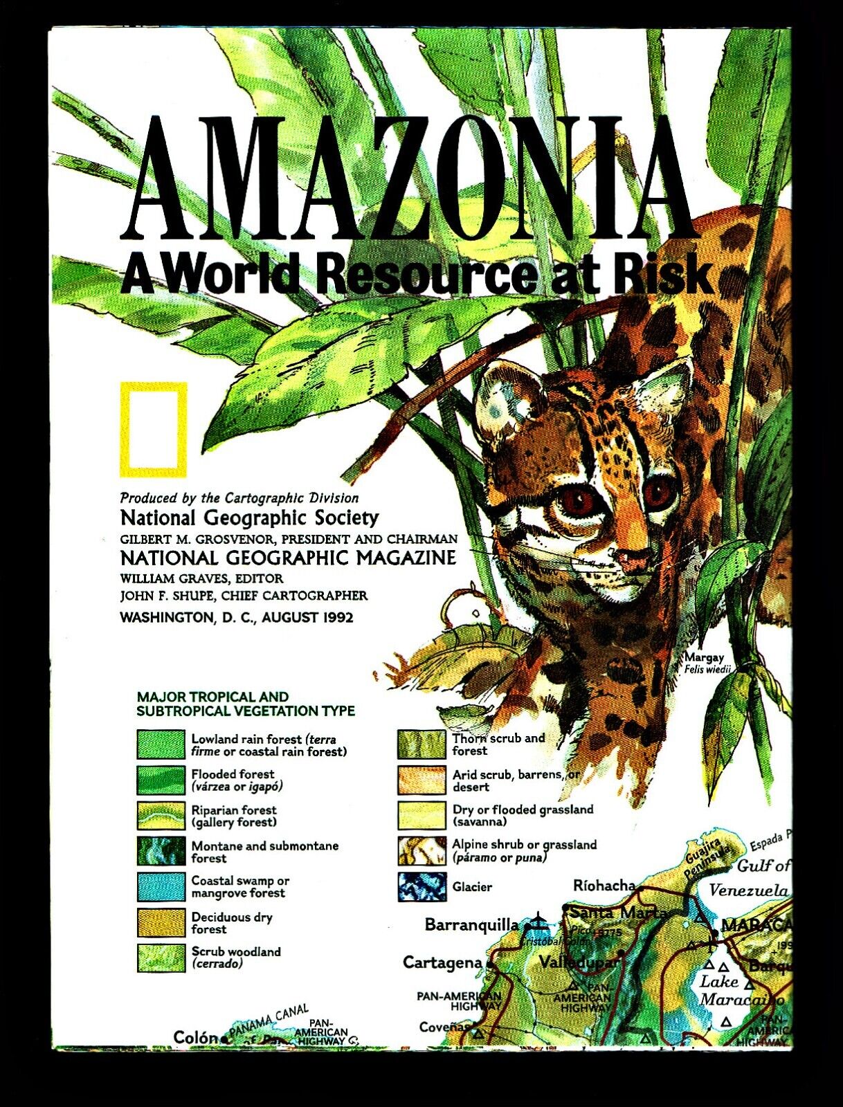
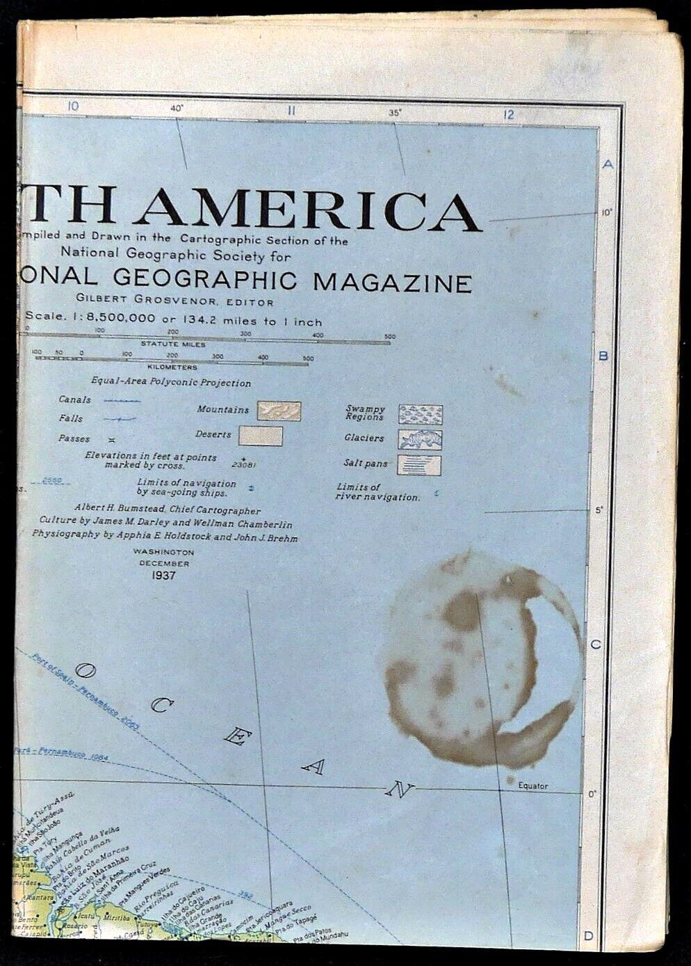
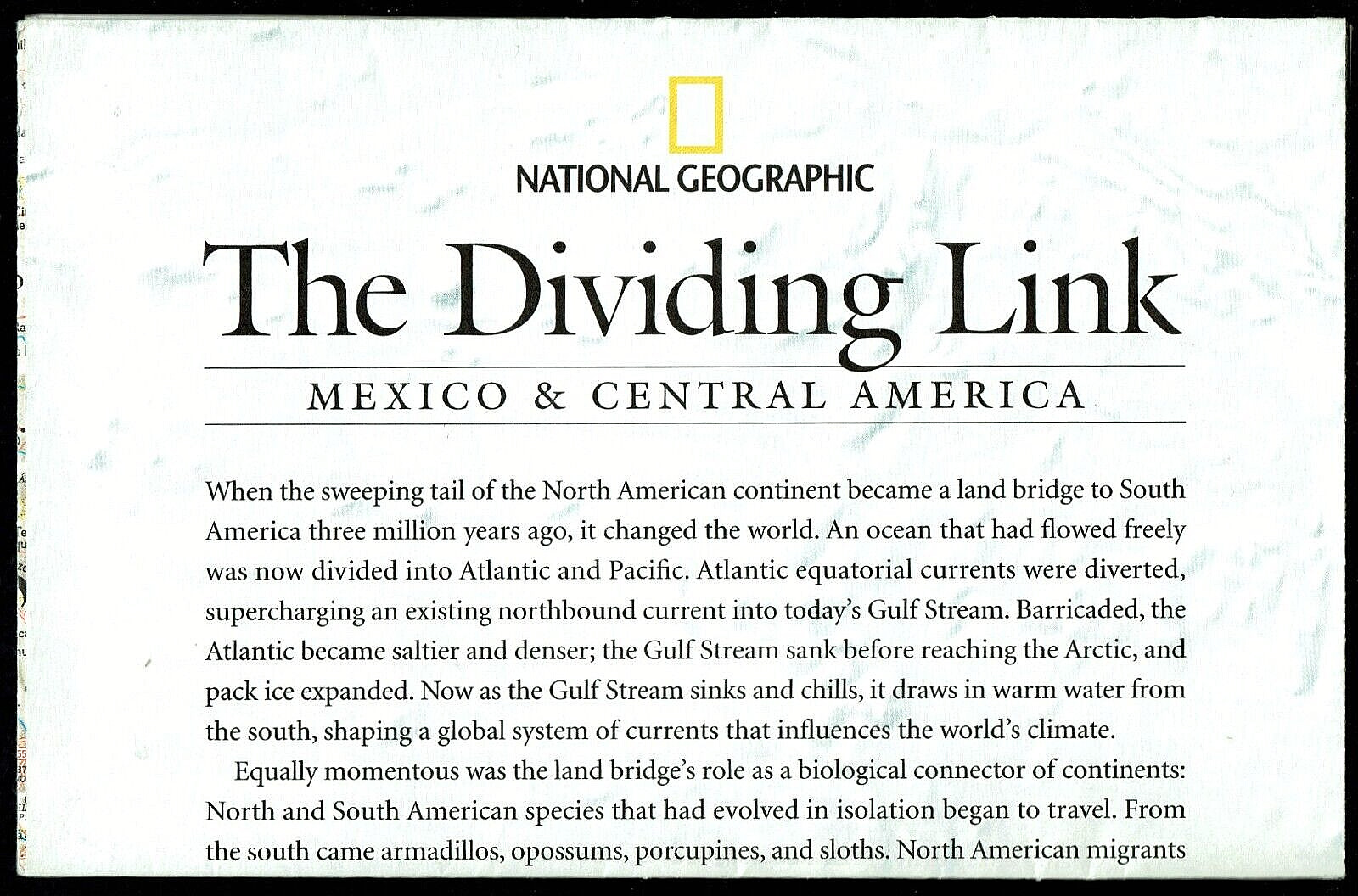
⫸ 1961-10 October MEXICO & CENTRAL AMERICA Vintage National Geographic Map A3
$ 2.63
- Description
- Size Guide
Description
⫸1961-10 Vintage Map Mexico & Central America – National Geographic Society
Single-sided map of Mexico and Central America from the United States border with Mexico to the Panama Colombian border in a map inset. There are also small map insets of the Canal Zone, Guadalupe Island, and Revilla Gigedo Islands
Map is approximately 19” x 25”.
The National Geographic is known for it's fine maps & detailed information.
Supplement to the National Geographic Magazine; magazine is not included.
Always use your cart to obtain any discounts!
U.S. Shipping
- Please select:
1) USPS Mail Service or Media Mail (average delivery time) .50 for the first item and 50
¢ for each additional item.
2) USPS Package Service (faster delivery and with tracking) .00 for the first item and 50¢ for each additional item.
x
x
x


